ArcPy • ArcGIS Toolbox • Python • ArcGIS Pro
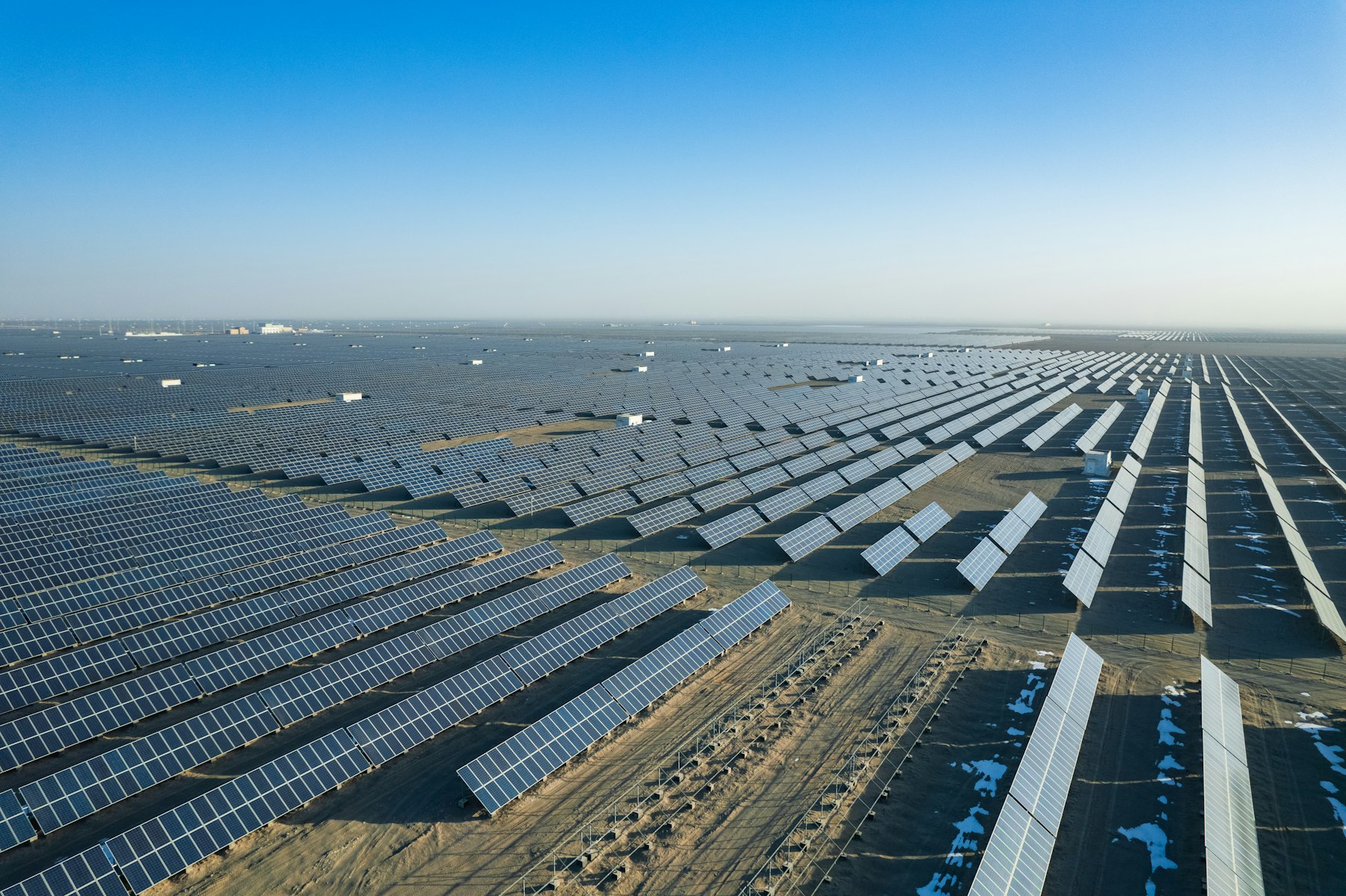
An end-to-end spatial workflow for identifying potential renewable energy development sites, using detailed Multi-Criteria Analysis on raw data, creating polished visualisations and analyst-ready outputs.
JavaScript • Leaflet.js • GeoJSON
Interactive web mapping applications built with Leaflet.js, JavaScript, and HTML/CSS. Features dynamic layer control, custom popups, and GeoJSON data integration — drawing on front-end GIS development experience at Agrilogic AI and geospatial visualization work across multiple platforms.
Python • ArcPy • GeoPandas • GDAL
Python automation scripts using ArcPy, GeoPandas, and GDAL to streamline geospatial data processing pipelines. Covers vector/raster transformation, spatial data validation, and batch workflows — built from automation work at Liberty Utilities that significantly reduced manual processing time.